1 hour ago
13
1 hour ago
13
Published August 24, 2026 2:37 PM CDT
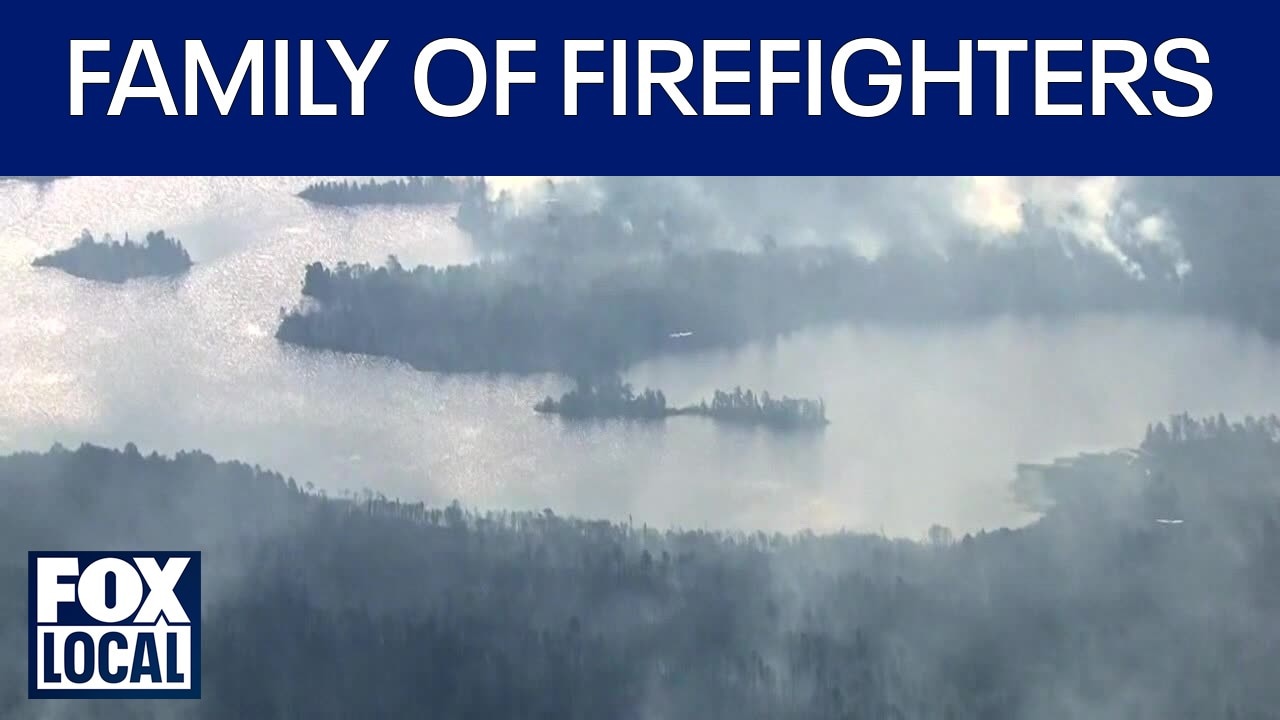
ELY, Minn. (FOX 9) - Burning restrictions are officially lifted across Superior National Forest, and more of the Boundary Waters is opening back up — but fire crews are still hard at work.
July Lightning fires: Where things stand
What we know:
As of noon on Monday, Aug. 24, burning restrictions have been lifted across all three million acres of Superior National Forest, including the Boundary Waters Canoe Area Wilderness. The public is strongly encouraged to use extreme caution — any warm coals should be cold to the touch before being left unattended. Campgrounds and recreation sites currently under a closure order remain closed.
More than 1,600 of the roughly 2,000 Boundary Waters campsites — about 73% — are now available. On Tuesday, Aug. 25, two more entry points along the Echo Trail will reopen: Little Indian Sioux River South (Entry Point 9) and South Hegman Lake (Entry Point 77). The Superior National Forest's Alerts webpage has maps and updated information on recreation, closures and fire restrictions.
Fire-by-fire breakdown
By the numbers:
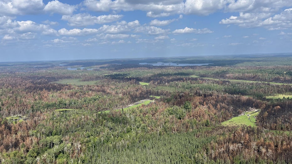
Aerial view of the Bear Trap fire in the Boundary Waters Canoe Area Wilderness. (carl Skustad / Superior National Forest / Supplied)
Seven July lightning fires have burned a combined 76,032 acres — 67,009 in the U.S. and 9,023 in Canada — with 598 personnel currently assigned.
- The Camp Fire has burned 4,357 acres and is 97% contained, located five miles north of Winton.
- The Sioux Fire has burned 6,833 acres and is 76% contained, north of the Echo Trail and east of Jeanette Campground.
- The Bear Trap Fire has burned 39,327 total acres — 30,804 in the U.S. — and is 55% contained, located 20 miles north of Ely.
- The Thumb Fire, which merged with the Wolfpack Fire over the weekend, has burned 25,515 total acres — 25,015 in the U.S. — and is 55% contained, located six miles south of Gakijiwanong Anishnaabe Nation, Canada.
- The Little Knife Fire remains at 4,815 acres and is 90% contained with no threats to the perimeter and minimal fire activity.
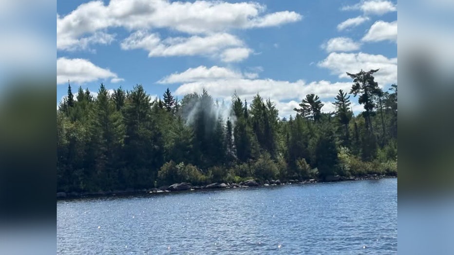
The Muskeg Creek Fire in the Boundary Waters Canoe Area Wilderness started around Aug. 23. (Superior National Forest / Supplied)
A new fire was reported in the BWCAW on Sunday. The Muskeg Creek Fire, was spotted in the Caribou Point area of Pipestone Bay. Crews will be on scene Monday to assess the fire and resource needs.
Weather and what's ahead
Weather outlook:
Dry conditions continue Monday, with winds starting light out of the north in the morning before shifting as clouds increase through the afternoon and evening ahead of a low pressure system, according to the forest service update. That system will move through the region Tuesday, bringing more impactful weather and wetting conditions. There will be at least two chances for rainfall and thunderstorms Tuesday — the first in the morning and the second during the afternoon and evening as a front sweeps through the region.
What we don't know:
It is not yet clear how much rainfall the region will receive from Tuesday's system or how significantly the wetting conditions will affect active fire perimeters and ongoing suppression efforts.
Temporary flight restrictions remain in place over the fire area and continue to be updated as conditions change. A permanent flight restriction covers the Boundary Waters Canoe Area Wilderness. Visit the Federal Aviation Administration website for more information.
The Source: This report is based on the July Lightning Incident Update released Monday, Aug. 24, by Superior National Forest officials.
WildfiresNatural DisastersMinnesota