 1 week ago
52
1 week ago
52
The El Niño-driven wave could raise coastal water levels from late September into October.
LOS ANGELES — A kelvin wave is described as a large, slow-moving pulse of warm water. This is not a breaking wave that can be seen from the beach.
During El Niño, weakened or occasionally reversed trade winds allow warm water piled up in the western Pacific Ocean to move eastward along the equator. When that water reaches the Americas, the wave's energy turns northward and travels along the coastline as a coastally trapped kelvin wave.
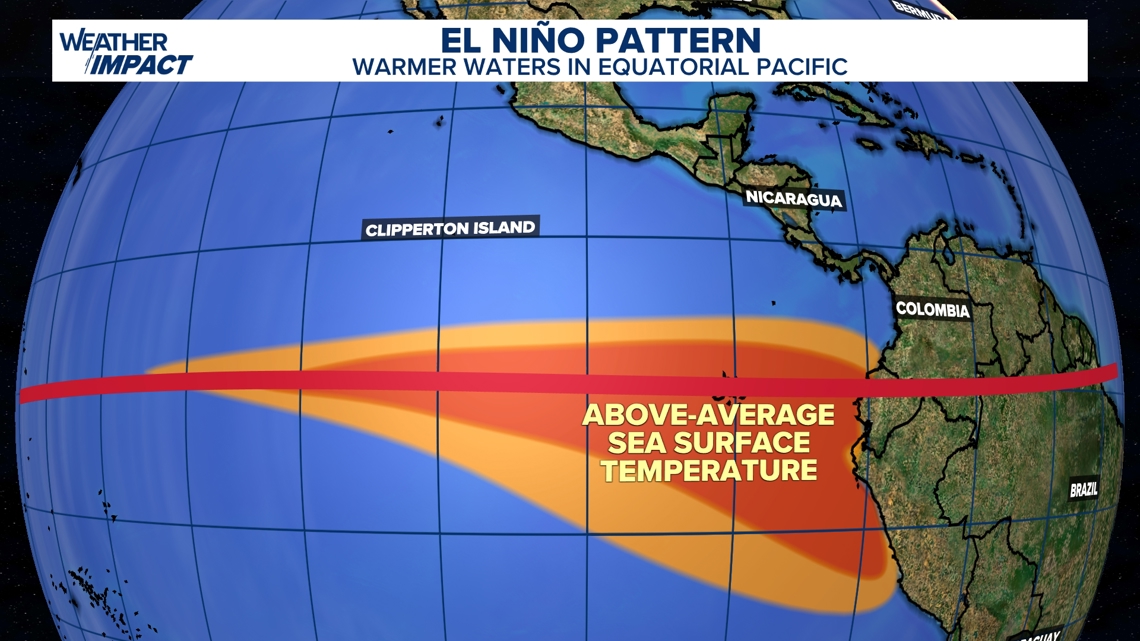
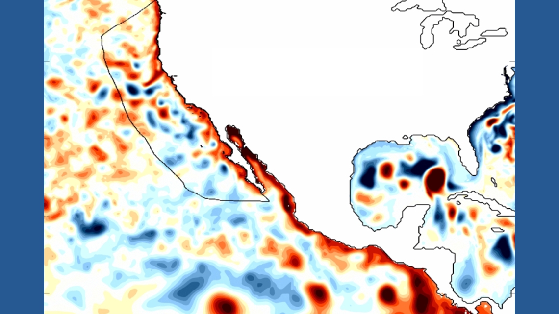
As the wave moves toward Mexico and the U.S. West Coast, it deepens the layer of warm water, suppresses the normal upwelling of colder water and raises coastal water levels. The current wave is expected to reach parts of California from late September into October, potentially keeping sea levels elevated for weeks.
This effectively raises the starting point from which high tides, large surf and storm-driven water must build.
The kelvin wave alone may not produce flooding, especially while astronomical tides remain low. However, the risk could increase later in the fall and winter if elevated sea levels overlap with king tides or incoming Pacific storm systems.
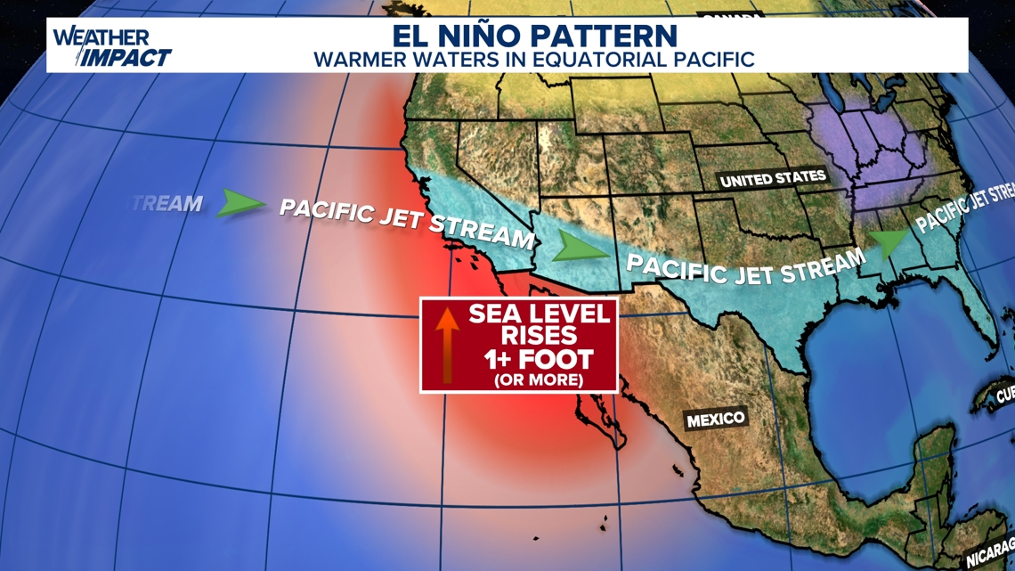
Strong onshore winds, lower atmospheric pressure and large storm-generated waves can push additional water toward the coast, increasing the potential for coastal flooding, beach erosion and wave damage. El Niño can also influence the Pacific storm track, but the timing and severity of any flooding will depend on how individual storms align with tides and an already elevated ocean.
Stay up to date on you local forecast in the coming weeks for more information.